In 1905, C.B. Moore investigated various archeological sites along the Warrior River in west-central Alabama, one of which was known as the “mound near R.H. Foster Landing.” According to Mr. Moore: “At this landing is a plantation, belonging to Miss Florence H. Foster, of Sylvan, Alabama on which is a mound almost obliterated by cultivation. That which remains was dug into at a number of places by us, but no sign of human bones or of artifacts was encountered.
Parts of surrounding fields show traces of aboriginal occupancy. Though many holes were dug by us to undisturbed soil, but one burial pit was revealed. In this grave pit were two skeletons at full length laying on their backs, one 2 feet below the surface, the other 3 feet. No artifacts were with them (Moor 1905, p. 243).”
In 1933, W.B. Jones recorded the mound and village as 1Tu42 and 1Tu43, respectively. No excavation was done by Jones and the site forms were based on the work of C.B. Moore.
In the early 1960’s local landowners in the area began to change their farming practices from cattle pasture to cotton and soybean cultivation. With this change, which included deep plowing, archeological sites such as the Wiggins Site were severely impacted and exposed. In 1962, landowner Billy Wiggins contacted archeologists at Mound State Monument to report that his plowing activities had exposed numerous native burials, structures, and refuse pits. Due to lack of personnel and funds nothing could be done to examine the site.
Wiggins continued to plow the site but would, along with members of his family, collect artifacts and label them in relation to their position on the site. Caleb Curren was shown the collection in 1975. An agreement was reached to have the collection housed at the University of Alabama for study.
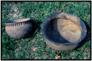
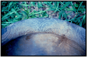
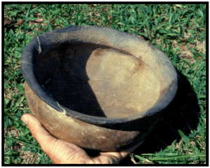
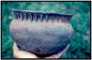
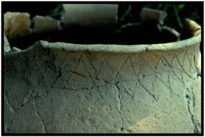
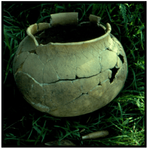
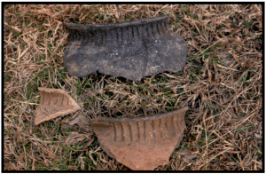
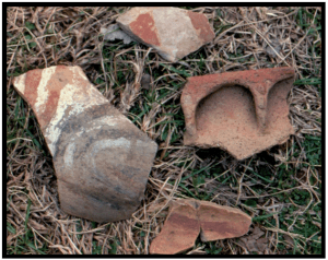
Studies determined that the site was occupied from the early Woodland period through the Mississippian period. A Mississippian mound existed at the site. The height of the mound in the 1970’s was approximately 1 meter, the width at the top was 30 meters, the width at the base was 35 meters. A sizeable village was present adjacent to the mound. Across an intermittent stream to the southwest of the mound some 200 meters was a Protohistoric village. The site is bordered on three sides by oxbow lakes within a one-mile radius. The present river bank is within 100 meters to the east. The following pages illustrate pottery from the site.
This is one of a series of field notes for archeological researchers. The notes are free. Pass it on if you please.
Caleb Curren: June 2009